Charlotte sees 10 degree warmup before Thursday rain
Highs will hit the mid 70s this week before a front brings a 50 percent chance of showers and thunder.
By Marco Whitaker ·
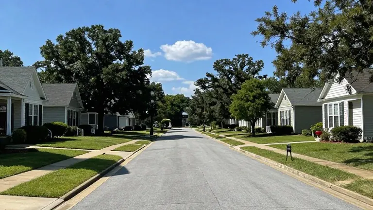
The cold snap that greeted November is ending in the Charlotte metro area.
Meteorologists at WBTV report that the lingering cold air damming pattern is breaking down. Sunday afternoon temperatures will reach the upper 60s with northeast winds blowing at 10 mph. Skies will remain mostly cloudy, and residents can expect a 20 percent chance of a stray shower. If rain falls, it will likely be too light to measure.
A noticeable shift begins on Monday as high pressure moves offshore into the western Atlantic. This change drives a steady warming trend. Highs will reach the lower 70s under partly cloudy skies on Monday. Temperatures will climb into the middle 70s on both Tuesday and Wednesday. These readings stand 5 to 10 degrees above the average for early November. Commuters can expect dry and pleasant conditions for both morning and afternoon travel through at least Tuesday evening.
Rain returns later in the week. A low-pressure system and frontal boundary will slide in from the west starting late Wednesday night. Showers become likely on Thursday, raising the chance of precipitation to 50 percent. The forecast includes a few rumbles of thunder, though widespread severe storms are not anticipated. Rain chances will drop to around 20 percent on Friday as the system passes.
Unseasonably warm temperatures will linger after the rain. Highs near 70 degrees are expected to continue into next weekend. The forecast for the immediate future shows mainly cloudy skies with few showers on Sunday. Monday brings increasing clouds but remains mainly dry. Tuesday may see a stray shower but will otherwise be mild in the afternoon.
Residents can track these changes through the WBTV Weather app on mobile devices. The station also provides forecasts through its Roku and Amazon Fire applications.