
Indiana Weather Shifts to Cold, Windy Conditions This Weekend
A front brings rain and potential lake effect snow to the state, with highs dropping to the 40s.
By Samir Doyle ·
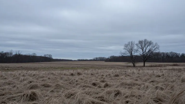
Mild temperatures in Indiana will give way to a sharp drop in temperature by Thursday. A weather pattern change is set to bring colder air and stronger winds to the region, ending a stretch of comfortable midweek weather.
The shift begins on Wednesday as clouds increase and rain develops in the afternoon. Highs will reach the lower to middle 60s before showers and thunderstorms move through. By Thursday, the air turns breezy and cooler, with highs falling to the 40s and around 50.
Cold air continues to push in during the night, bringing wind chill values into the 20s. Light snow showers are possible across parts of the state, particularly downwind of the Great Lakes. Forecasters do not expect these showers to cause major issues in Central Indiana.
Friday will remain cold and breezy with highs in the lower 40s. Rain and snow showers may linger in northwest Indiana, with ice pellets mixing in at times. These conditions will make for a chilly environment for high school playoff football games. Lows will sit in the lower 30s with wind chills in the 20s.
High pressure is expected to move into the region over the weekend, clearing the skies. Highs will stay in the 40s, while lows drop into the 30s and 20s. Some areas may see temperatures warm back into the 50s by Sunday afternoon.
The weather service notes that the cold snap will persist through the weekend. Residents should prepare for wind chills in the 20s on Thursday and Friday nights.