Chicago snow possible Thursday
Meteorologists warn of lake effect snowflakes arriving after a record-warm autumn.
By Alina Campbell ·
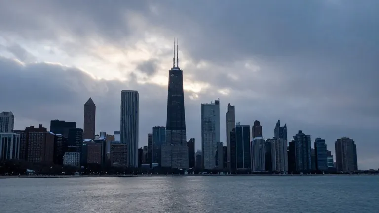
Chicago has not recorded snowfall at O'Hare International Airport since March 18, a span of nearly eight months. The National Weather Service indicates the city is overdue for its first trace of snow. Meteorologists now forecast lake effect bands that could bring the first flakes to the region later this week.
NBC 5 Storm Team Meteorologist Iisha Scott said winds blowing down Lake Michigan combined with plunging land temperatures may generate snow showers. She noted that because the fall has been warmer than average, the snow is unlikely to stick or accumulate. Most of the precipitation will likely mix with rain.
The National Weather Service defines the first trace of snow as the initial observed snowflakes at the O'Hare reporting station. Historically, this event occurs around Halloween. The earliest recorded first trace in Chicago history happened on September 25, 1942. The latest occurrence was on December 5, 1999.
Forecasters expect lake effect showers to develop on Thursday morning. Precipitation will fall as rain across northwest Indiana and Illinois border regions. As temperatures drop Thursday night into Friday morning, some of that rain could turn to snow. The precipitation band is predicted to shift west into Illinois, potentially reaching the city of Chicago.
Residents also track the first measurable snowfall, which requires at least one-tenth of an inch of accumulation. The average date for this event is November 18. The earliest measurable snowfall was recorded on October 12, 2006. The typical first inch of snow arrives on December 7.
If O'Hare records snowflakes during the upcoming shift, it will end the current dry streak. The weather service data confirms no snow has been logged at the airport since March. Forecasters will monitor the movement of the lake effect bands through the weekend.